museum-digital
CTRL + Y
en
Angyalföldi Helytörténeti Gyűjtemény Fotótár [AHGY_FT_88.336.1.]
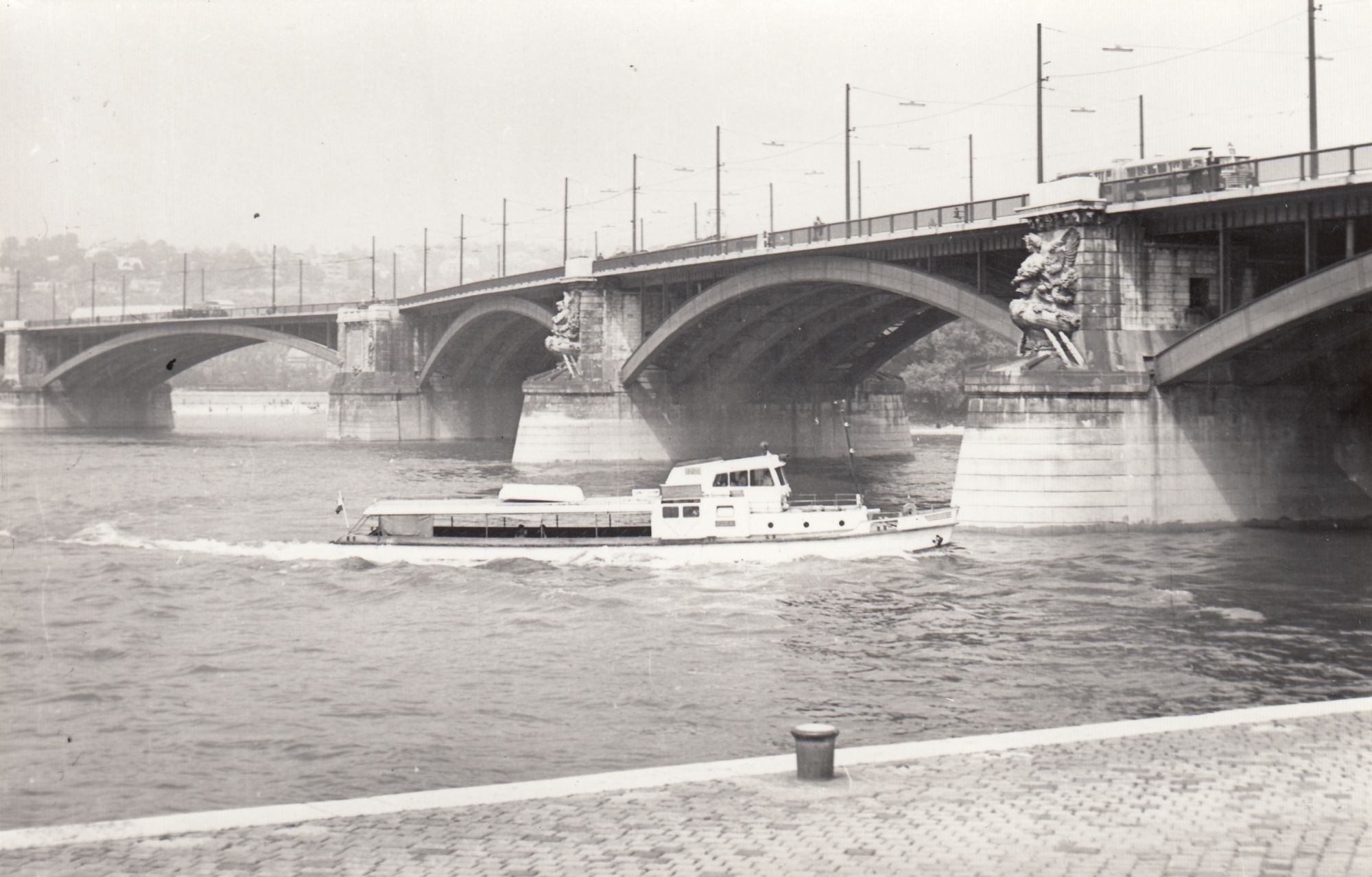
Margit híd  (Angyalföldi Helytörténeti Gyűjtemény CC BY-NC-SA)
Provenance/Rights: Angyalföldi Helytörténeti Gyűjtemény (CC BY-NC-SA)
1 / 6 Previous<- Next->

Margit híd

Cite this page Data sheet (PDF) Canonical version (record) Calculate distance to your current location Mark for comparison Graph view

Description

A híd 1872 és 1876 között épült, Ernest Goüin, francia mérnök tervei alapján. 1876. április 30-án avatták fel.
A Szent István körutat és a Margit körutat köti össze a Margitsziget érintésével.
A II. világháború idején felrobbantották, az újjáépített hidat 1948-ban adták át.
1978-ban, majd 2011-ben teljes körű rekonstrukción esett át.

Material/Technique

Papír /fekete- fehér

Measurements

9 x 12 cm

Map
Angyalföldi Helytörténeti Gyűjtemény

Object from: Angyalföldi Helytörténeti Gyűjtemény

Talán nem vagyunk elfogultak, ha azt állítjuk, a XIII. kerület különleges, sokszínű szelete Budapestnek. A mi „Tizenhármunk” olyan városrész, ahol...

[Last update: ]

Usage and citation

The textual information presented here is free for non-commercial usage if the source is named. (Creative Commons Lizenz 3.0, by-nc-sa) Please name as source not only the internet representation but also the name of the museum.
Rights for the images are shown below the large images (which are accessible by clicking on the smaller images). If nothing different is mentioned there the same regulation as for textual information applies.
Any commercial usage of text or image demands communication with the museum.