museum-digital
CTRL + Y
en
Schulmuseum im Klösterle [o. Inv.]
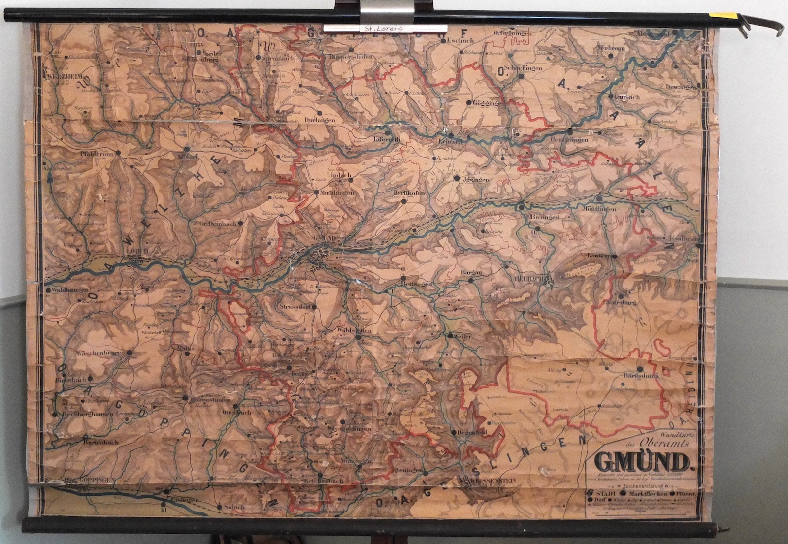
Schulwandkarte von Gmünd (Schulmuseum im Klösterle CC BY)
Provenance/Rights: Schulmuseum im Klösterle / Benjamin Widholm (CC BY)
1 / 3 Previous<- Next->

Schulwandkarte des Oberamts Gmünd

Contact Cite this page Data sheet (PDF) Canonical version (record) Calculate distance to your current location Mark for comparison Graph view

Description

Die geographische Schulwandkarte zeigt das Gebiet des ehemaligen Oberamts Gmünd. Entworfen und gezeichnet hat die Landkarte der Lehrer K. Bartholomäi. Er war an der Königlichen Taubstummenanstalt in Gmünd tätig. Die Taubstummenanstalt geht auf die 1811 gegründete Taubstummenschule von Johann Leonhard Allé zurück, die von König Wilhelm I. 1817 ihren Status als Königliche Anstalt erhielt.

Material/Technique

Holz, Textil, bedruckt

Measurements

H 106 cm; B 130 cm; Maßstab 1:25000

Map
Schulmuseum im Klösterle

Object from: Schulmuseum im Klösterle

Ein historisches Klassenzimmer aus der Zeit um 1930 steht im Mittelpunkt der Ausstellung des 2012 im sog. Klösterle eröffneten Schulmuseums. Nach der...

Contact the institution

[Last update: ]

Usage and citation

The textual information presented here is free for non-commercial usage if the source is named. (Creative Commons Lizenz 3.0, by-nc-sa) Please name as source not only the internet representation but also the name of the museum.
Rights for the images are shown below the large images (which are accessible by clicking on the smaller images). If nothing different is mentioned there the same regulation as for textual information applies.
Any commercial usage of text or image demands communication with the museum.