museum-digital
CTRL + Y
en
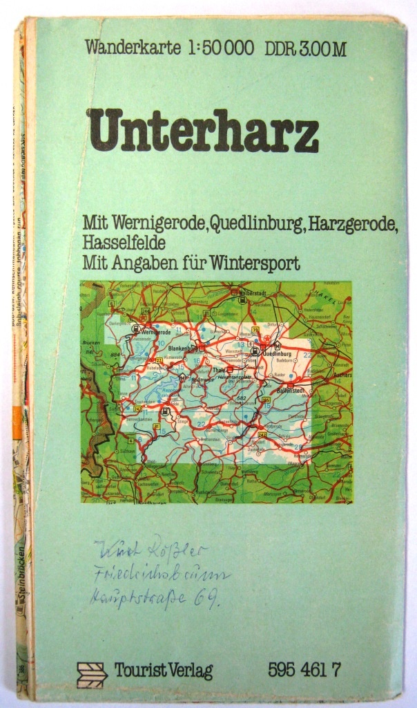
Fahrzeugmuseum Staßfurt Buch- und Kartenmaterial zur Fahrzeuggeschichte des Ostens [Buch_008]
Wanderkarte für den Unterharz und Umgebung 1983 (Fahrzeugmuseum Staßfurt CC BY-NC-SA)
Provenance/Rights: Fahrzeugmuseum Staßfurt (CC BY-NC-SA)
1 / 1 Previous<- Next->

Wanderkarte für den Unterharz und Umgebung 1983

Contact Cite this page Data sheet (PDF) Canonical version (record) Calculate distance to your current location Mark for comparison Graph view

Description

Titel der Karte: Wanderkarte für den Unterharz und Umgebung
Erscheinungsjahr der Karte: 1983
Seitenanzahl der Karte: Vorder- und Rückseite
Verlag: VEB Tourist Verlag Berlin
Druck: VEB Landkartenverlag Leipzig
Maßstab: 1:50.000
Verteilung der Karte: im Handel erhältlich
Preis der Karte: 3,00 Mark (DDR)
Maße der Karte zusammengefaltet: Breite: 13 cm ; Höhe: 24 cm
Maße der Karte auseinandergefaltet: Breite: 64 cm; Höhe: 95 cm

Material/Technique

Bedrucktes Papier

Measurements

Breite: 13 cm Höhe: 24 cm

Map
Fahrzeugmuseum Staßfurt

Object from: Fahrzeugmuseum Staßfurt

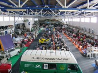
Das Fahrzeugmuseum wurde im Jahre 2004 im historischen Rittergut im Bördedorf Glöthe gegründet, anfangs unter dem Namen Fahrzeugmuseum Glöthe. Seit...

Contact the institution

[Last update: ]

Usage and citation

The textual information presented here is free for non-commercial usage if the source is named. (Creative Commons Lizenz 3.0, by-nc-sa) Please name as source not only the internet representation but also the name of the museum.
Rights for the images are shown below the large images (which are accessible by clicking on the smaller images). If nothing different is mentioned there the same regulation as for textual information applies.
Any commercial usage of text or image demands communication with the museum.