museum-digital
CTRL + Y
en
Westpreußisches Landesmuseum Dauerausstellung [1998/67]
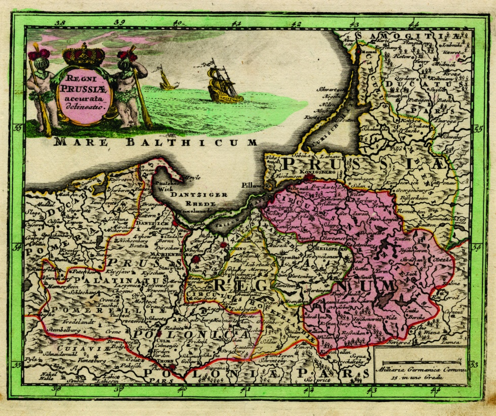
Regni Prussiae et Prussiae Polonicae (Westpreußisches Landesmuseum CC BY-NC-SA)
Provenance/Rights: Westpreußisches Landesmuseum (CC BY-NC-SA)
1 / 1 Previous<- Next->

Regni Prussiae et Prussiae Polonicae

Contact Cite this page Data sheet (PDF) Canonical version (record) Calculate distance to your current location Mark for comparison Graph view

Description

Diese Abbildung eines teilkolorierten Kupferstiches zeigt das Gebiet des Königreichs Preußens und Preußisch Polens. Sie stammt aus dem "Atlas nouveau contenant toutes les parties du monde", den das Verlaghaus Covens & Mortier um 1761 herausbrachten.

Material/Technique

Kupfer, geschnitten, Farabe

Measurements

HxB: 56, 5 x 63,6 cm

Literature

  • Covens, Jean; Mortier, Corneille; Lisle, Guillaume de (1742): Atlas nouveau contenant toutes les parties du monde. Amsterdam
Map
Published Published
1761
Covens & Mortier
Amsterdam
Printing plate produced Printing plate produced
1761
1760 1763
Westpreußisches Landesmuseum

Object from: Westpreußisches Landesmuseum

Das im Jahr 1975 gegründete Westpreußische Landesmuseum (WLM) ist die zentrale Einrichtung in der Bundesrepublik Deutschland für die Sammlung,...

Contact the institution

[Last update: ]

Usage and citation

The textual information presented here is free for non-commercial usage if the source is named. (Creative Commons Lizenz 3.0, by-nc-sa) Please name as source not only the internet representation but also the name of the museum.
Rights for the images are shown below the large images (which are accessible by clicking on the smaller images). If nothing different is mentioned there the same regulation as for textual information applies.
Any commercial usage of text or image demands communication with the museum.