museum-digital
CTRL + Y
en
"dc-r" docu center ramstein Bücher, Broschüren, Zeitungen [DCR2019_0005_05]
Buch, Reiseführer, Fodor's Germany 1971 ("dc-r" docu center ramstein RR-P)
Provenance/Rights: "dc-r" docu center ramstein / Claudia Gross (RR-P)
1 / 1 Previous<- Next->

Buch, Reiseführer, Fodor's Germany 1971

Contact Cite this page Data sheet (PDF) Canonical version (record) Calculate distance to your current location Mark for comparison Graph view

Description

Illustrierter Reiseführer mit Atlas und Stadtplänen.
Eugene Fodor (Hrsg.); H. Dunkelgod (Illustrator); David McKay Company Inc (Verlag)
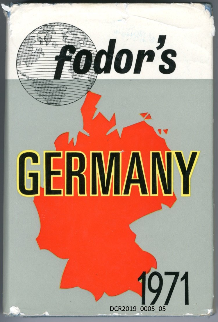
Das Titelblatt zeigt die Umrisse Westdeutschlands als rote Fläche auf Grau. Oben links eine Weltkugel; schwarzer Textaufdruck, z.T. mit gelber Umrandung; 427 Seiten

Material/Technique

Pappe, Papier, Druck, Fadenbindung.

Measurements

H 18,4 cm; B 12,5 cm; T 3,7 cm

Map
"dc-r" docu center ramstein

Object from: "dc-r" docu center ramstein

„Ramstein, Germany“ ist durch seinen US-Flugplatz weltweit ein Begriff. Das benachbarte Kaiserslautern kennt man in der Welt als „K-Town“. Seit bald...

Contact the institution

[Last update: ]

Usage and citation

The textual information presented here is free for non-commercial usage if the source is named. (Creative Commons Lizenz 3.0, by-nc-sa) Please name as source not only the internet representation but also the name of the museum.
Rights for the images are shown below the large images (which are accessible by clicking on the smaller images). If nothing different is mentioned there the same regulation as for textual information applies.
Any commercial usage of text or image demands communication with the museum.