museum-digital
CTRL + Y
en
Donegal Railway Heritage Centre Objects [103]
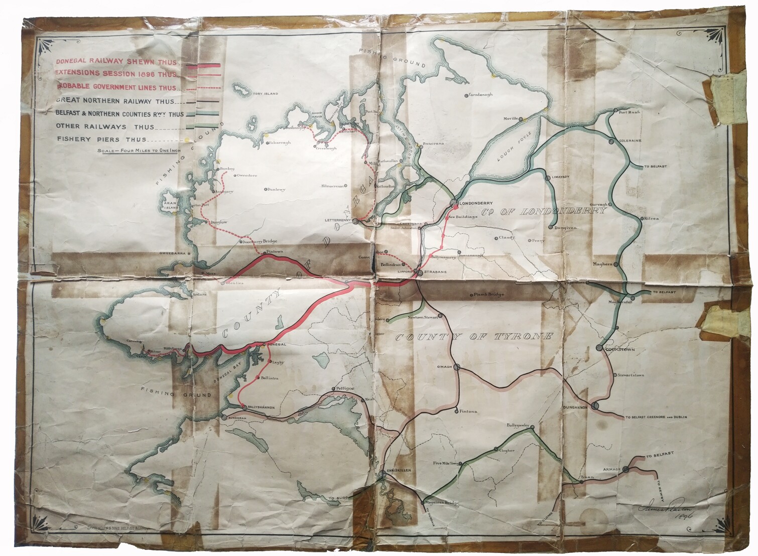
Donegal Railway Map, 1896 (Donegal Railway Heritage Center, Heike Thiele CC BY-NC-SA)
Provenance/Rights: Donegal Railway Heritage Center, Heike Thiele / Heike Thiele (CC BY-NC-SA)
1 / 2 Previous<- Next->

Donegal Railway Map, 1896

Contact Cite this page Data sheet (PDF) Canonical version (record) Calculate distance to your current location Mark for comparison Graph view

Description

Lithographed Map printed at David Allen & Sons Ltd, Belfast, in 1896. The legend of the map refers to the Donegal Railways, the Extensions Session 1896 and the probable Government Lines. Also drawn out is the Great Northern Railway, The Belfast & Northern Counties Railway, Other Railways and Fishery Piers. The map is signed.

Material/Technique

Lithographic print

Measurements

746 mm x 546 mm

Donegal Railway Heritage Centre

Object from: Donegal Railway Heritage Centre

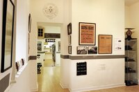
Donegal Railway Heritage Centre is considered one of the county’s hidden gems and is located just 300 metres from Donegal Town Centre. County Donegal...

Contact the institution

[Last update: ]

Usage and citation

The textual information presented here is free for non-commercial usage if the source is named. (Creative Commons Lizenz 3.0, by-nc-sa) Please name as source not only the internet representation but also the name of the museum.
Rights for the images are shown below the large images (which are accessible by clicking on the smaller images). If nothing different is mentioned there the same regulation as for textual information applies.
Any commercial usage of text or image demands communication with the museum.