museum-digital
CTRL + Y
en
Stiftung Händel-Haus Halle Bilder- und Graphiksammlung [BS-IIa 179]
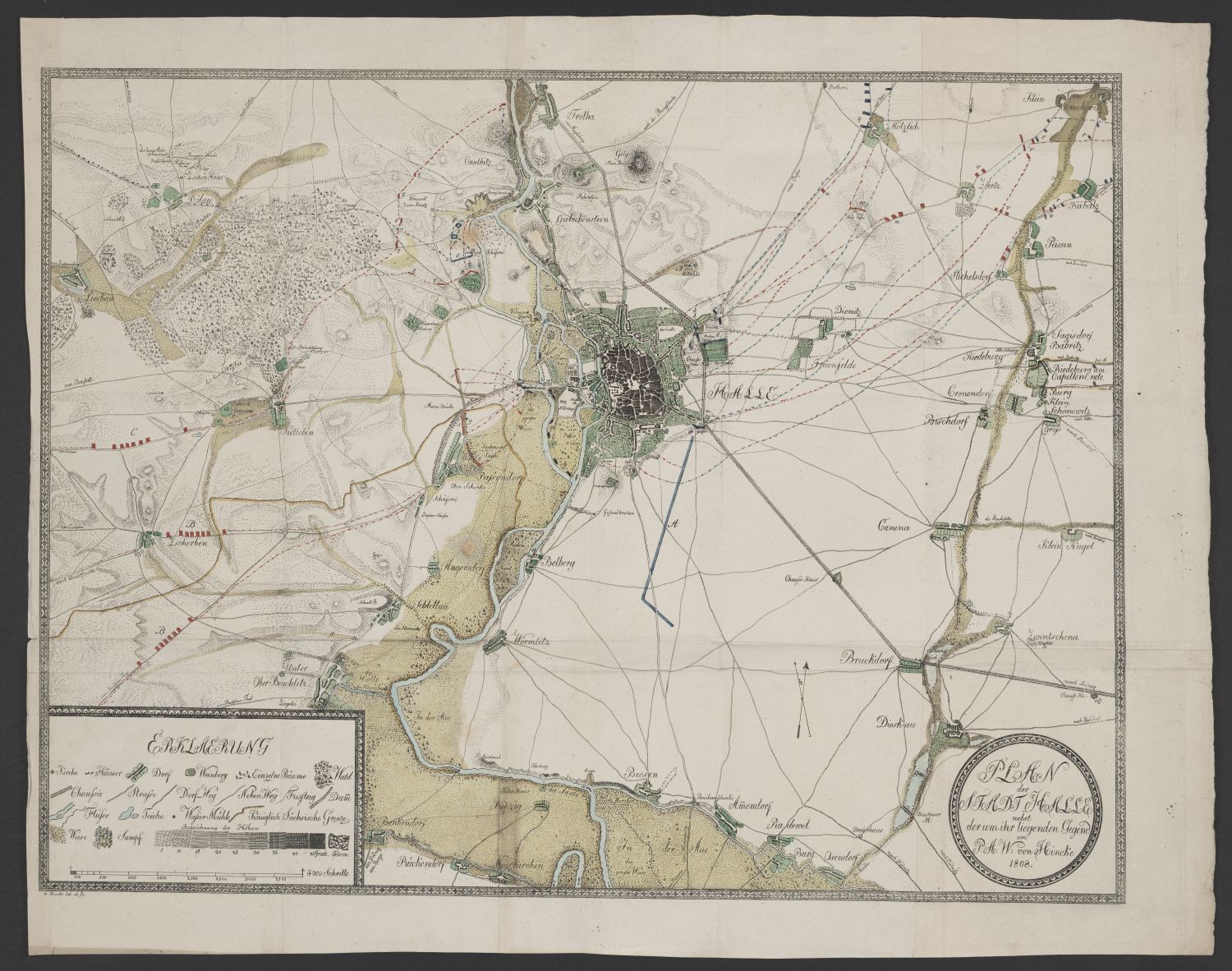
Halle und Umgebung, Landkarte (Stiftung Händelhaus, Halle CC BY-NC-SA)
Provenance/Rights: Stiftung Händelhaus, Halle (CC BY-NC-SA)
1 / 2 Previous<- Next->

Plan der Stadt Halle, nebst der um ihr liegenden Gegend

Contact Cite this page Data sheet (PDF) Canonical version (record) Calculate distance to your current location Mark for comparison Graph view

Description

Dies ist eine Landkarte von Halle und Umgebung. Die Saale verläuft vertikal in der Mitte des Blattes und wurde hellblau koloriert. Unten links gibt es eine Erklärung der farbig markierten Stellen in der Karte.
Der kolorierte Kupferstich stammt von dem deutschen Kartografen Phillipp A. W. von Hincke, für den Wirkungsdaten ab 1808, wie die Signatur auch zeigt, belegt sind.

Signatur: von P: A: W: von Hincke 1808.

Beschriftung: PLAN der STADT HALLE nebst der um ihr liegenden Gegend

Wasserzeichen: vorhanden, unten links: Mde I. A. HUBER.

Material/Technique

Kupferstich (koloriert)

Measurements

H: ca. 55,6 cm; B: ca. 70 cm (Blattmaß).

Stiftung Händel-Haus Halle

Object from: Stiftung Händel-Haus Halle

1937 erwarb die Stadt Halle das in der Großen Nikolaistraße gelegene Geburtshaus des berühmten Komponisten Georg Friedrich Händel und eröffnete hier...

Contact the institution

[Last update: ]

Usage and citation

The textual information presented here is free for non-commercial usage if the source is named. (Creative Commons Lizenz 3.0, by-nc-sa) Please name as source not only the internet representation but also the name of the museum.
Rights for the images are shown below the large images (which are accessible by clicking on the smaller images). If nothing different is mentioned there the same regulation as for textual information applies.
Any commercial usage of text or image demands communication with the museum.