museum-digital
CTRL + Y
en
Museum Guntersblum Karten und Pläne [36421]
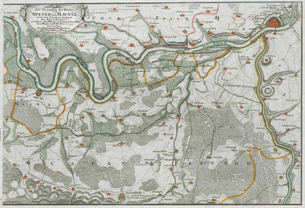
Die Gegenden des Rheins von Speyer biss Mayntz (Kulturverein Guntersblum CC BY-NC-SA)
Provenance/Rights: Kulturverein Guntersblum (CC BY-NC-SA)
1 / 1 Previous<- Next->

Die Gegenden des Rheins von Speyer biss Mayntz

Contact Cite this page Data sheet (PDF) Canonical version (record) Calculate distance to your current location Mark for comparison Graph view

Description

Nebst der Situation laengst der Bergstrasse zwischen dem Rhein und dem Odewaldt, dem Mayn und Necker
Westorientierte Karte auf 2 Blatt gezeichnet von Homann

Die original Karte ist ein Kupferstich mit einer Gesamtgröße von 92 x 32 cm, je Teil 46 x 32 cm Sie befindet sich in der Landesbibliothek Rheinland-Pfalz, Koblenz

Bestand 36421: A3 Teilkopie G'blum Umgebung
Bestand 36422: Nachdruck 50x40cm
Bestand 36423: pdf-Datei

Material/Technique

Papier

Measurements

1 Blatt

Map
Museum Guntersblum

Object from: Museum Guntersblum

Das Museum Guntersblum wird ehrenamtlich unterhalten von dem Verein zur Erhaltung Guntersblumer Kulturguts e.V. (kurz: Kulturverein Guntersblum) und...

Contact the institution

[Last update: ]

Usage and citation

The textual information presented here is free for non-commercial usage if the source is named. (Creative Commons Lizenz 3.0, by-nc-sa) Please name as source not only the internet representation but also the name of the museum.
Rights for the images are shown below the large images (which are accessible by clicking on the smaller images). If nothing different is mentioned there the same regulation as for textual information applies.
Any commercial usage of text or image demands communication with the museum.