museum-digital
CTRL + Y
en
Postamúzeum Történeti térképgyűjtemény (D23) [POM_D23_96.622.0.]
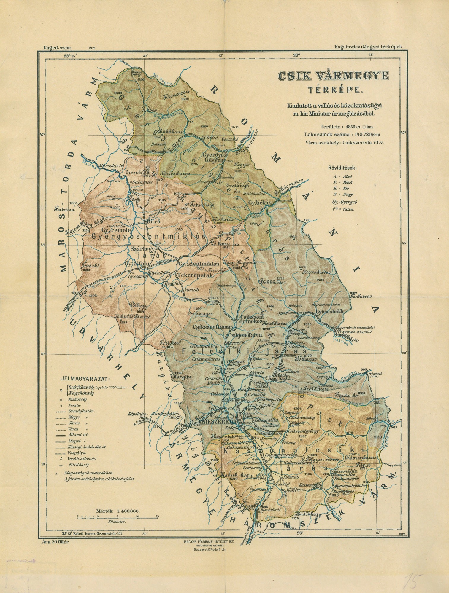
Csík vármegye térképe (Postamúzeum CC BY-NC-SA)
Provenance/Rights: Postamúzeum (CC BY-NC-SA)
1 / 1 Previous<- Next->

Csík vármegye térképe

Cite this page Data sheet (PDF) Canonical version (record) Calculate distance to your current location Mark for comparison Graph view

Description

Csík vármegye térképe

Jelölve: ország-, megye-, járás- és városhatárok, állami,megyei, községi utak, vasútvonalak és állomások, községek, puszták, fürdőhelyek

Méretarány: 1:400 000

Material/Technique

Papír / nyomtatott

Measurements

375×285 mm

Map
Postamúzeum

Object from: Postamúzeum

Az 1885-1890 között alapított postamúzeumi gyűjtemény első állandó kiállítóhelyét 1955-ben nyitotta meg a budai postapalota toronyszobáiban. A...

[Last update: ]

Usage and citation

The textual information presented here is free for non-commercial usage if the source is named. (Creative Commons Lizenz 3.0, by-nc-sa) Please name as source not only the internet representation but also the name of the museum.
Rights for the images are shown below the large images (which are accessible by clicking on the smaller images). If nothing different is mentioned there the same regulation as for textual information applies.
Any commercial usage of text or image demands communication with the museum.